AI Perception Systems in Autonomous Vehicles: How Cars See the World
A technical breakdown of how AI powers perception in autonomous vehicles — covering LiDAR, camera fusion, object detection, sensor fusion, and the real-time processing pipeline that lets self-driving cars understand their environment.
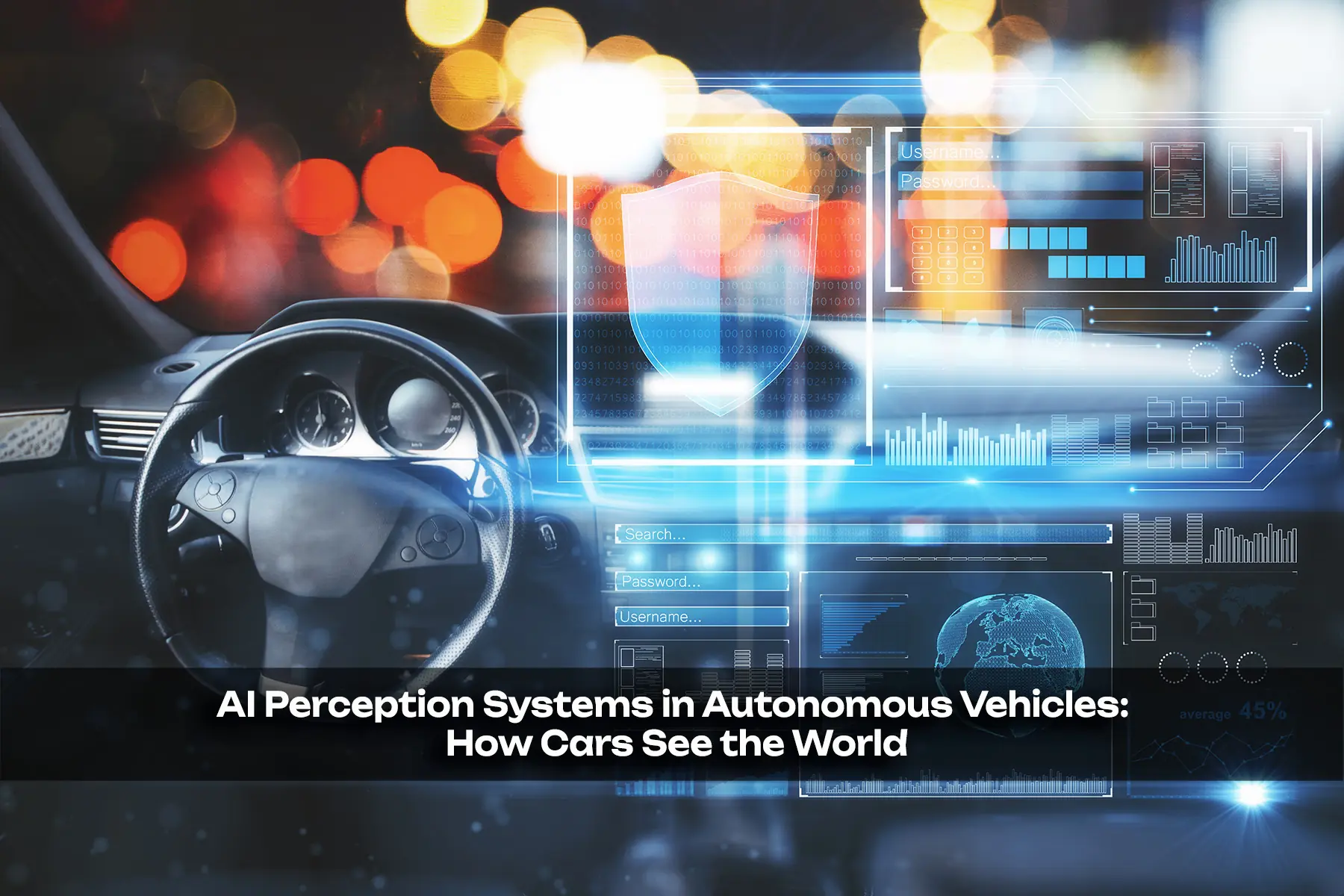
Autonomous vehicles depend on AI perception systems to interpret their surroundings in real time. These systems combine data from multiple sensors — cameras, LiDAR, radar, and ultrasonic devices — into a coherent model of the world. This article examines the core technologies driving vehicle perception: how each sensor works, how AI models fuse sensor data, how object detection networks operate, and the real-time processing constraints that shape system design. The goal is to provide a practical, technically grounded understanding of what it takes for a car to "see" well enough to drive itself.
Introduction
Driving requires constant perception. A human driver processes visual information, sounds, spatial cues, and predicted behavior of other road users in a loop that runs roughly every 100–200 milliseconds. An autonomous vehicle faces the same demands but must solve them with silicon and software. The system that makes this possible is the perception stack — a layered combination of sensors, AI models, and fusion algorithms.
At its core, vehicle perception answers three questions every fraction of a second:
- What is around me? (objects, road markings, traffic signs, drivable space)
- Where are they? (3D position and distance)
- What are they doing? (motion, trajectory, intent)
Answering these questions requires hardware (sensors), software (AI models), and integration (fusion pipelines). This article breaks down each layer.
The Sensor Suite
No single sensor gives a complete picture. Each has trade-offs in range, resolution, weather resilience, and cost. A practical autonomous vehicle typically deploys a multi-sensor suite.
LiDAR
LiDAR (Light Detection and Ranging) emits laser pulses and measures the time they take to return after bouncing off surfaces. It produces a dense 3D point cloud — millions of XYZ coordinates per second — with centimeter-level accuracy at ranges up to 200–300 meters for automotive-grade units.
Key characteristics:
- Resolution: High angular resolution (0.1–0.2° is common), producing detailed shape information
- Range: 200–400 m for long-range units, 50–100 m for close-range blind-spot units
- Weather sensitivity: Performance degrades in heavy rain, fog, or dust — laser light scatters and attenuates
- Cost: Has dropped significantly;固态 (solid-state) LiDAR units now target sub-$500 at scale
- Output: Raw point clouds require processing before objects can be identified
LiDAR's primary advantage is precise depth measurement without the depth-estimation challenges that plague monocular cameras. Its point cloud directly reveals 3D structure — pedestrians look distinct from cyclists, which look distinct from trucks.
Cameras
Cameras provide color and texture information that no other sensor matches. A typical AV setup uses 8–12 cameras covering 360°, including forward-facing narrow-FoV (long-range), forward wide-FoV, side-facing, and rear-facing units. Resolution ranges from 1.3 MP (common in early systems) to 8 MP or higher in current platforms.
Two categories matter:
- Monocular cameras — a single lens, 2D image. Depth must be estimated from visual cues (known object sizes, perspective, motion parallax) or inferred by AI models.
- Stereo cameras — two lenses offset by a known baseline. Triangulation gives direct depth estimates, but baseline and resolution limit range (typically useful to ~80 m).
Modern approaches increasingly rely on monocular depth estimation networks (e.g., monodepth models trained on large datasets) that infer 3D from a single image with accuracy approaching stereo in some regimes.
Radar
Automotive radar (mm-wave, typically 77 GHz) transmits radio waves. It is robust in rain, fog, and dust — fundamentally different physics from laser or visible light. Radar provides:
- Direct velocity measurement via Doppler shift
- Reasonable range (up to ~250 m)
- Angular resolution limited by antenna aperture (typically 1–5°)
Radar's strength is detecting moving objects with accurate velocity. Its weakness is poor resolution and significant false alarm rates from multipath reflections and roadside clutter. It is most reliable for forward-looking long-range detection and as a redundancy sensor in adverse weather.
Ultrasonic Sensors
Short-range (0.2–5 m) sensors used primarily for parking assistance and low-speed obstacle detection. Cheap, reliable, weather-immune. Not used for highway-speed perception but provide close-range safety coverage in the fusion stack.
Comparing Perception Technologies
The following table summarizes the core trade-offs across the primary sensor types.
| Sensor | Range | Resolution | Weather Resilience | Depth Measurement | Cost (Est.) | Primary Output |
|---|---|---|---|---|---|---|
| LiDAR (solid-state) | 200–400 m | Very High (point cloud) | Moderate (degraded in heavy rain/fog) | Direct (time-of-flight) | $300–$1,000 | 3D point cloud |
| Camera (monocular) | 0–200 m | High (2D pixel) | Moderate (affected by glare, darkness) | Inferred (AI-based) | $50–$200 per unit | RGB image |
| Camera (stereo) | 0–80 m | High (2D pixel) | Moderate | Direct (triangulation, limited range) | $100–$300 per pair | RGB + depth map |
| Radar (mm-wave) | 0–250 m | Low–Moderate | High (all weather) | Direct (Doppler) | $100–$300 per unit | Range + velocity |
| Ultrasonic | 0.2–5 m | Low | Very High | Direct (time-of-flight) | $10–$30 per unit | Range only |
Object Detection: The Neural Network Layer
Once the sensor suite produces raw data, AI models interpret it. The dominant paradigm is deep neural networks — specifically convolutional neural networks (CNNs) and their variants — trained on large annotated datasets.
2D Object Detection (Camera Images)
Standard architectures include:
- YOLO (You Only Look Once) — single-stage detector. Processes an image in one forward pass, outputs bounding boxes and class probabilities. Versions YOLOv8 and later are widely used in production AV systems for real-time performance.
- Faster R-CNN — two-stage detector. Region proposals first, then classification. Higher accuracy but slower (~5–10 FPS at full resolution vs. 25–45 FPS for YOLO variants on comparable hardware).
- EfficientDet / DETR — more recent architectures leveraging transformer backbones or optimized scaling.
For automotive use, the key classes are: pedestrian, cyclist, car, truck, bus, traffic sign, traffic light, road marking. Training requires massive datasets with diverse scenarios — urban, highway, night, rain, tunnels — which is a significant data engineering challenge.
3D Object Detection (Point Cloud and Fusion)
LiDAR point clouds require different architectures:
- PointPillars — converts point clouds into a pseudo-image representation (pillars of points), then applies a standard 2D CNN backbone. Widely deployed for its balance of speed and accuracy.
- PointNet / PointNet++ — directly processes raw point sets with shared MLPs, invariant to permutation. Higher computational cost but captures fine-grained geometry.
- VoxelNet — divides 3D space into voxels, applies convolutions. Higher accuracy but memory-intensive.
- SECOND (Sparsely Embedded CONvolutional Detector) — uses sparse 3D convolutions to address VoxelNet's efficiency problem. A common choice in production systems.
Semantic Segmentation
Beyond bounding boxes, the system needs pixel-level understanding of the scene — which pixels are road, sidewalk, building, vegetation. Fully convolutional networks (FCNs), DeepLabV3+, and HRNet variants produce dense semantic maps. This is critical for path planning — the car needs to know exactly where the drivable surface is.
Road and Lane Detection
Lane markings are detected using:
- HNet (VAN, LaneNet) — encoder-decoder networks that output lane geometry as polynomials or parametric curves
- Transformer-based approaches (e.g., LSTR — Lane Shape Prediction with Transformers) that directly predict lane parameters from image features
- Classical approaches (edge detection, Hough transforms) as fallback or validation layer
Modern systems combine deep learning with classical geometry for robustness — neural networks provide the primary detection, but geometric models ensure consistency and handle edge cases.
Sensor Fusion: Bringing It Together
Raw sensor outputs in isolation are insufficient. Sensor fusion combines data to produce a unified, consistent model of the world. The fusion architecture typically proceeds in stages.
Early Fusion (Raw Data)
Combines raw or low-level features from multiple sensors before interpretation. Example: projecting LiDAR points onto the camera image plane and processing jointly. Rarely used at raw level due to synchronization challenges and different data formats.
Deep Fusion (Feature-Level)
Neural networks learn joint representations from multiple sensor features. For example, a bird's-eye-view (BEV) network takes camera-derived features and LiDAR-derived features and produces a unified BEV occupancy grid or feature map. Tesla's occupancy networks and Waymo's systems use this approach.
Late Fusion (Object-Level)
Each sensor stream runs its own detection pipeline independently, producing lists of detected objects with confidence scores. A fusion tracker then associates detections across sensors (using Hungarian assignment or probabilistic methods), resolves conflicts (e.g., camera detects a person, radar detects a moving object — these get fused into one track), and produces a unified object list.
The Output: A Consolidated World Model
After fusion, the system maintains a list of tracked objects, each with:
- Position (x, y, z in world coordinates)
- Velocity (vx, vy, vz)
- Classification (car, pedestrian, cyclist, unknown)
- Confidence score
- Trajectory (history of positions, used for motion prediction)
- Age (how many frames the track has persisted — longer tracks are more reliable)
This object list feeds directly into prediction (what will each object do next?) and planning (how should the AV respond?).
Real-Time Processing Constraints
Perception must run at 10–20 Hz minimum — a 50–100 ms update cycle. At 72 km/h, a car moves ~2 meters in 100 ms, so stale data has real safety consequences. Meeting this requirement shapes every architectural choice.
Computational Hardware
Modern AV perception runs on:
- GPUs (NVIDIA DRIVE Orin, Xavier) — dominant for training and inference of CNNs. Orin delivers 254 TOPS of AI performance, sufficient for full perception stacks at 10–20 Hz.
- SoCs with neural accelerators (Qualcomm Snapdragon Ride, Mobileye EyeQ) — custom ASICs optimized for inference at lower power budgets.
- FPGAs — used for low-latency, deterministic processing of specific sensor streams.
The shift from discrete GPUs to integrated SoC solutions reflects the need for lower power consumption and compact packaging suitable for vehicle deployment.
Latency Budget
A typical frame's latency budget looks like this:
| Stage | Typical Latency |
|---|---|
| Sensor capture + digitization | 5–20 ms |
| Data transfer to processing unit | 1–5 ms |
| Neural network inference | 10–50 ms (depends on model + hardware) |
| Post-processing + fusion | 5–15 ms |
| Total per-frame latency | 30–90 ms |
Meeting the 100 ms target requires careful model optimization — quantization (using INT8 instead of FP32 weights), pruning (removing redundant neurons), TensorRT acceleration for NVIDIA platforms, and model distillation (training small "student" models to mimic larger "teacher" models).
Synchronization
Multiple cameras and LiDAR units capture data at slightly different times. Without correction, fast-moving objects appear at different positions in each sensor's frame. AV systems use hardware triggering (all sensors capture on the same clock signal) and software timestamp correction (warping detections to a common reference time using velocity predictions) to minimize synchronization error.
Perception Failure Modes and Safety
No perception system is perfect. Understanding failure modes is critical for safe deployment.
Corner Cases
- Adverse weather: Heavy rain, snow, fog, and direct sunlight degrade camera and LiDAR performance. Radar remains reliable but provides lower resolution.
- Occlusion: Objects partially or fully blocked from all sensors (e.g., a pedestrian stepping out from behind a parked bus) challenge all detection approaches. Systems use prediction to anticipate likely occluded trajectories.
- Unusual objects: Networks trained on a fixed set of classes fail on novel objects (e.g., a horse on a road, an oversized load). Open-set detection approaches and uncertainty estimation are active research areas.
- Sensor degradation: A dirty or damaged LiDAR window produces spurious points. Redundancy across sensor modalities helps, but no single sensor can fully compensate for another.
- Overhead obstructions: Low bridges, hanging branches, and overpasses are hard for forward-facing sensors to classify correctly at range.
Defense in Depth
Production systems use multiple layers of defense:
- Perception uncertainty — models output confidence scores; low-confidence detections trigger conservative responses
- Cross-modal validation — a detection must appear in at least two sensor modalities to be treated as high-confidence
- Temporal consistency — tracks must persist over multiple frames; single-frame detections are treated with caution
- Fallback rules — if perception degrades significantly, the system transitions to a minimal risk condition (slowing or stopping)
Current Industry Approaches
Different companies take distinct architectural paths:
| Company | Primary Sensing | Fusion Approach | Notable Features |
|---|---|---|---|
| Waymo | LiDAR + Camera + Radar | Deep feature fusion | Custom LiDAR, occupancy networks, massive data |
| Tesla | Camera-only (vision-centric) | BEV transform, occupancy networks | No LiDAR, uses visual depth estimation |
| Mobileye | Camera + Radar | EyeQ SoC, REM map-assisted | Camera-first, crowd-sourced mapping |
| Baidu Apollo | LiDAR + Camera + Radar | Multi-sensor BEV fusion | Open platform, high configurability |
| Cruise | LiDAR + Camera + Radar | Deep fusion | San Francisco urban deployment |
The camera-only vs. LiDAR-inclusive debate is notable. Tesla argues that sufficient camera resolution and advanced neural networks can achieve LiDAR-level depth understanding at lower cost. Waymo and most others maintain that LiDAR's precise depth data provides safety margins that pure vision systems cannot yet reliably match, particularly at long range.
Conclusion
AI perception systems are the sensory foundation of autonomous vehicles. They answer the core questions of what exists around the vehicle, where it is, and what it is doing — through a layered stack of hardware sensors, neural network detection models, and fusion pipelines. Each component has distinct trade-offs: LiDAR excels at 3D geometry, cameras at texture and color, radar at all-weather velocity sensing. The fusion layer reconciles these into a coherent world model updated multiple times per second.
The field continues to advance rapidly. Camera resolution and AI depth estimation are closing the gap with LiDAR, raising questions about the long-term necessity of expensive laser sensors. Open-set detection, better uncertainty quantification, and more robust fusion under sensor degradation remain active research areas. The underlying challenge — building a perception system reliable enough for safe autonomous driving in all conditions — is not solved, but the progress from 2015 to 2026 has been substantial.
What remains is the hard engineering work of pushing accuracy higher, latency lower, and corner-case coverage broader. Perception is not the bottleneck of autonomy — planning and validation are increasingly where the difficult problems live. But without reliable perception, nothing else matters. Getting it right is a prerequisite, and it demands rigorous, ongoing attention to every layer of the stack.
Related Articles

Adobe Firefly 2026: The Generative AI Revolution in Creative Cloud
How Adobe's Firefly integrates with Creative Cloud to transform creative workflows with unlimited generative AI
NASA Perseverance AI-Driven Mars Mission: The First Autonomous Interplanetary Drive
How NASA's Perseverance rover completed the first AI-planned drive on Mars using Anthropic's Claude vision-language models

OpenAI Sora Shutdown: The Rise and Fall of AI Video's Flagship Product
An in-depth analysis of OpenAI's decision to shut down Sora, the collapse of the $1 billion Disney deal, and what this means for the future of AI-generated video.